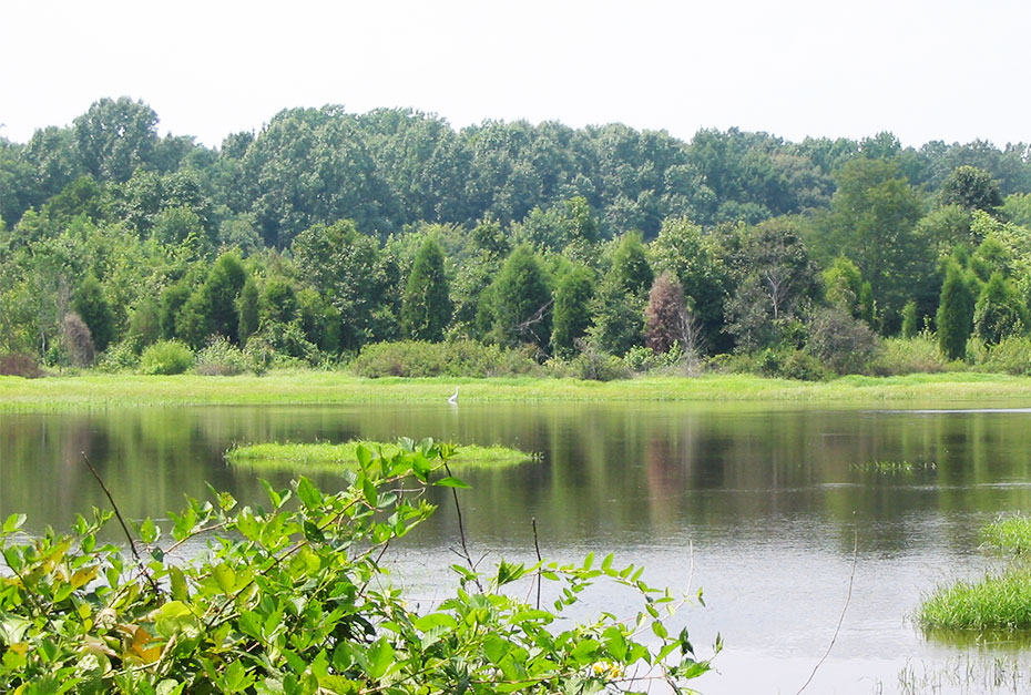
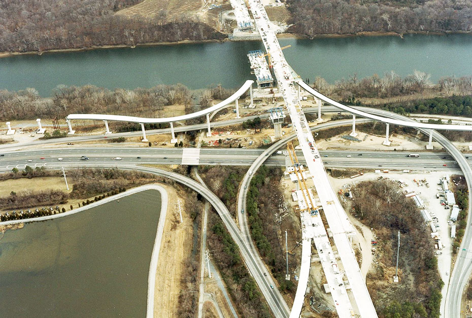
This segment of interstate provided central Virginia with a vital James River crossing and pathway for connection between major roads and areas south of Interstate 64. The large river crossing and associated impacts to floodplains and other sensitive areas required permitting and mitigation expertise.
The Challenge
This 8+ mile connector road crosses the James River and numerous floodplain wetlands, which required expansive study areas, detailed analyses of potential alignments, and well-coordinated permitting and mitigation strategies for more than 30 acres of impacts.
Our Solution
WSSI delineated wetlands and other Waters of the U.S. in the proposed right-of-way and located wetlands with remote sensing techniques in the wider corridor area. WSSI then worked with the U.S. Army Corps of Engineers, the Virginia Department of Environmental Quality, the Virginia Marine Resources Commission, and the U.S. Coast Guard to obtain the necessary permits for impacts to state and federal waters.
To address the extent of the proposed impacts, WSSI provided the reviewing agencies with an assessment of the impacts associated with various alignments, along with a detailed evaluation of the costs and benefits of various avoidance and minimization measures. WSSI also completed a comprehensive functions and values assessment of the impacted wetlands.
Specialized mitigation design and planning was critical for the project success. WSSI evaluated
scores of potential mitigation sites throughout Henrico County and located a 193-acre farm with prior-converted croplands to provide wetland mitigation. WSSI completed the environmental and cultural resources investigations to determine site suitability and characteristics. WSSI engineers then drafted construction plans for approximately 70 acres of restored wetlands. WSSI’s construction plans included grading, erosion and sediment controls; planting plans and specifications; and a monitoring and maintenance program to ensure site integrity. Construction – with WSSI oversight – began in July 1999, then WSSI completed five years of monitoring and maintenance. The U.S. Army Corps released the project in May 2005, indicating successful completion.
Project Facts
- Owner
FD/MK LLC, a joint venture of Fluor Daniel and Morrison Knudsen in a Public-Private Partnership with the Virginia Department of Transportation - Location
Henrico and Chesterfield Counties, VA - Size
8.8 miles of roadway, and 193 acres of wetland mitigation


